
Lot Plans & Development Phasing

Phasing Status:
-
91 lots -83 single detached lots and 8 townhome lots (42 dwelling units) and two blocks for high density development
Draft plan approved
Lots are zoned for intended use
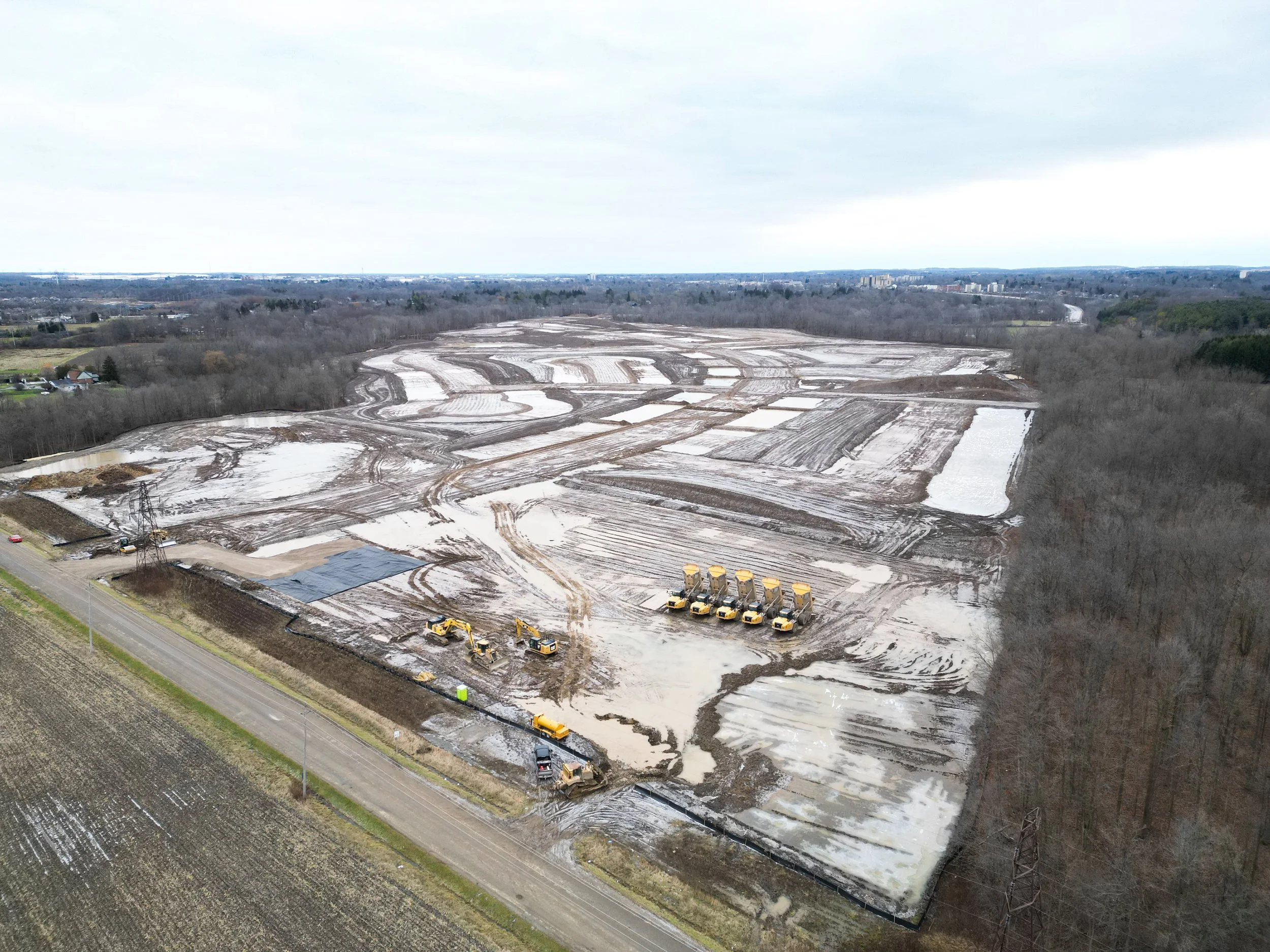
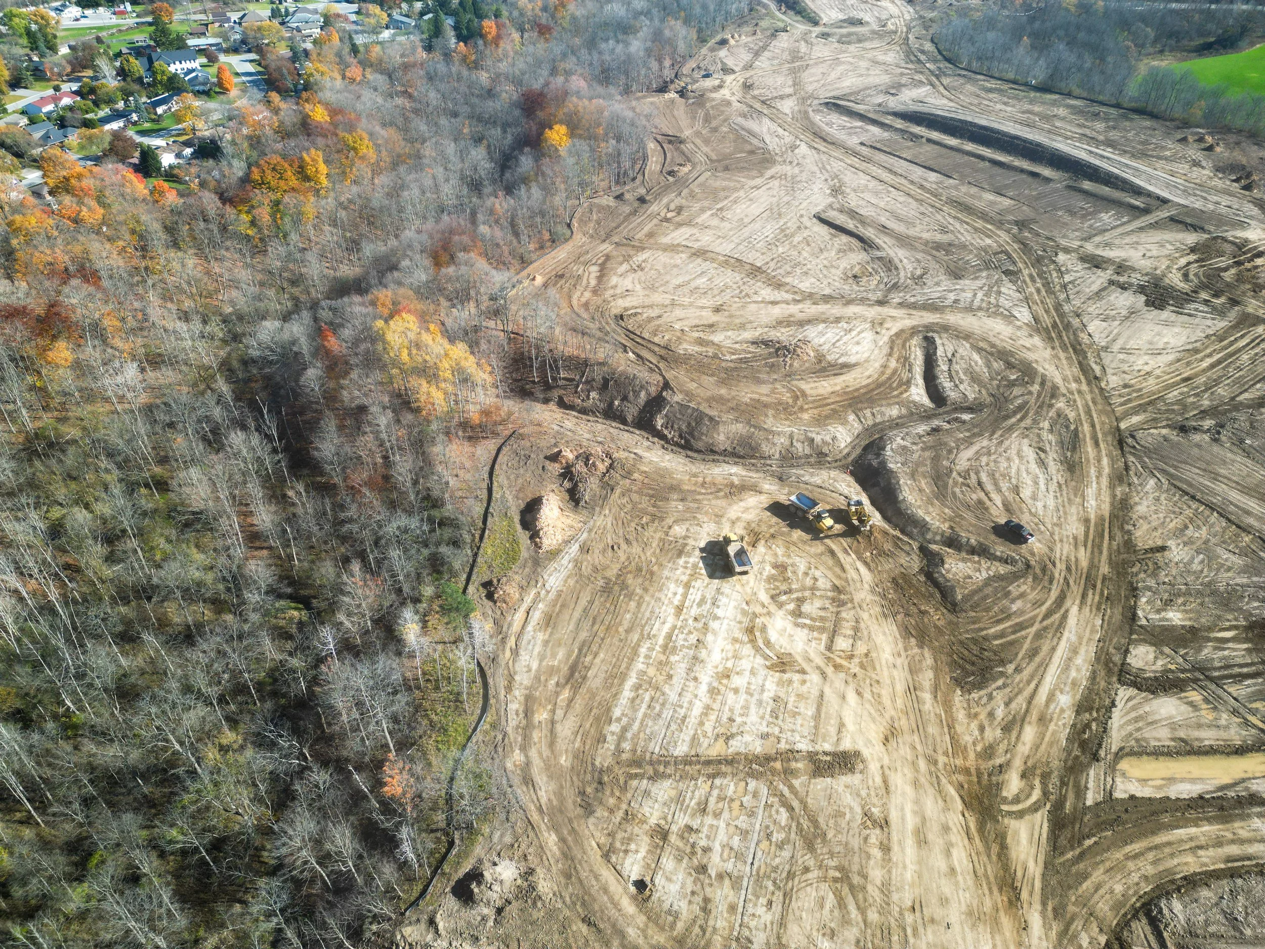
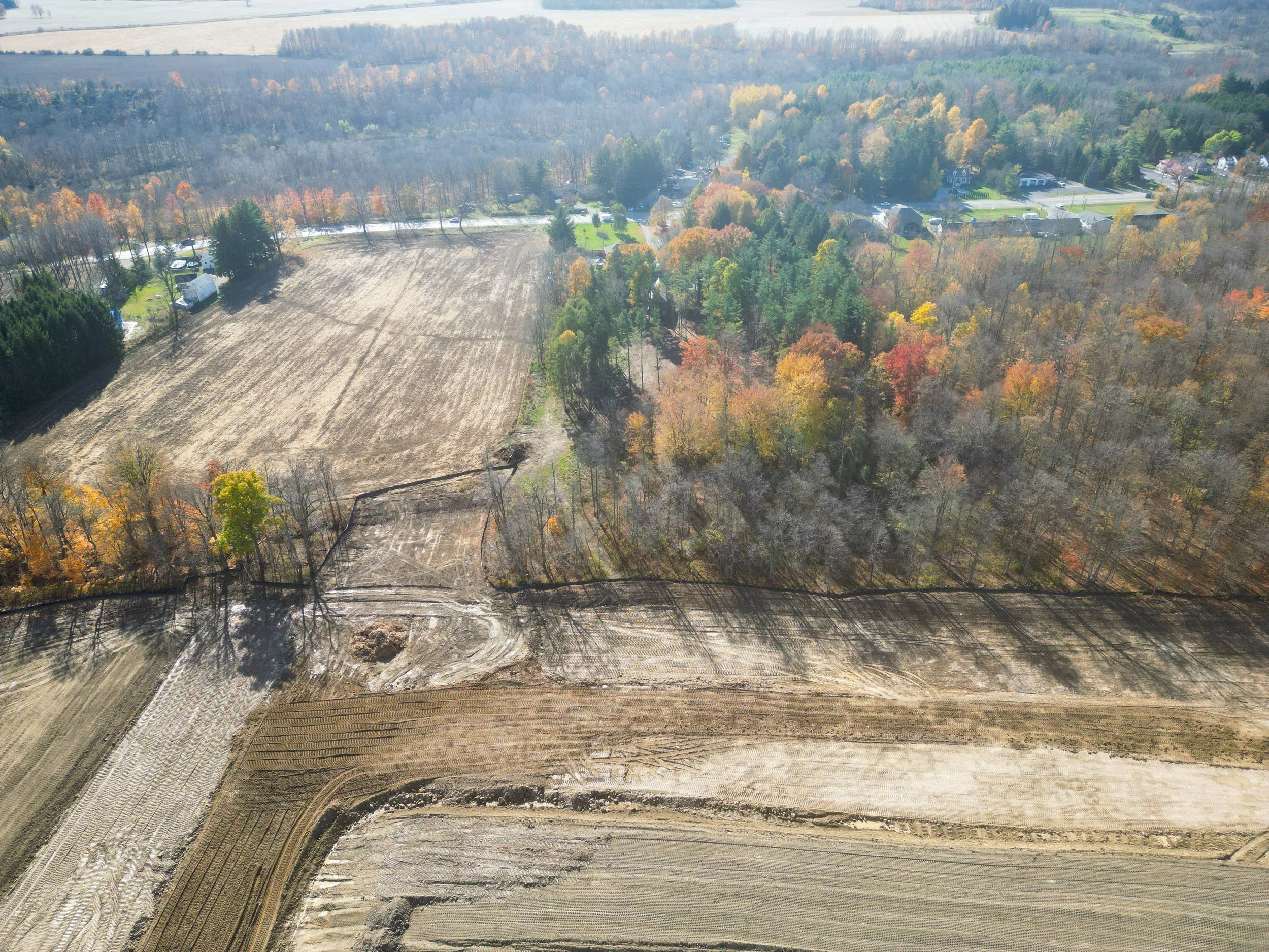
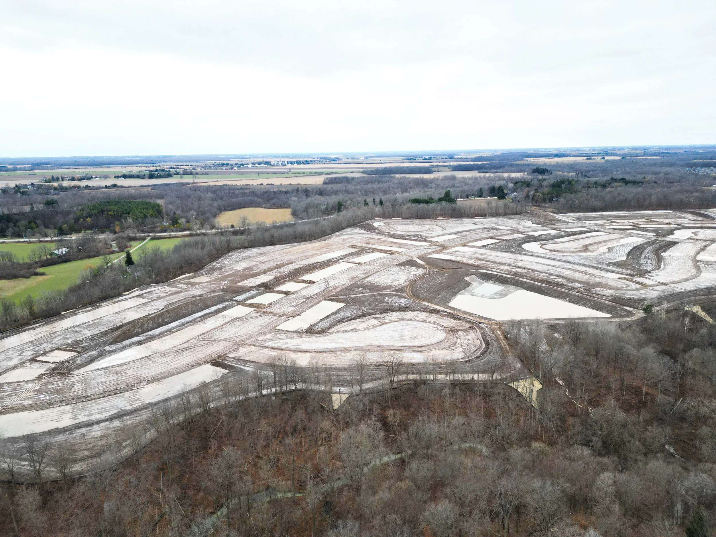
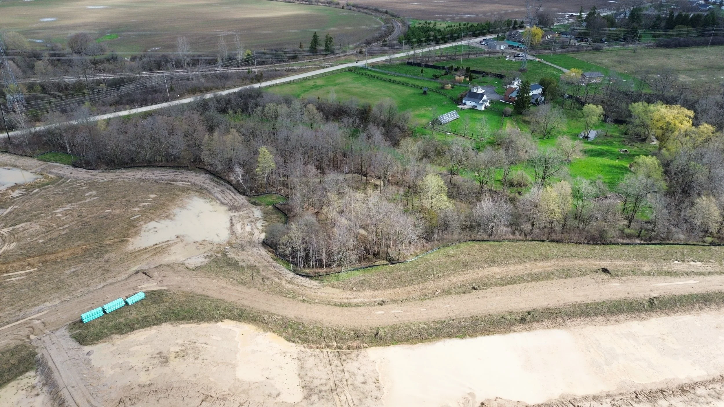
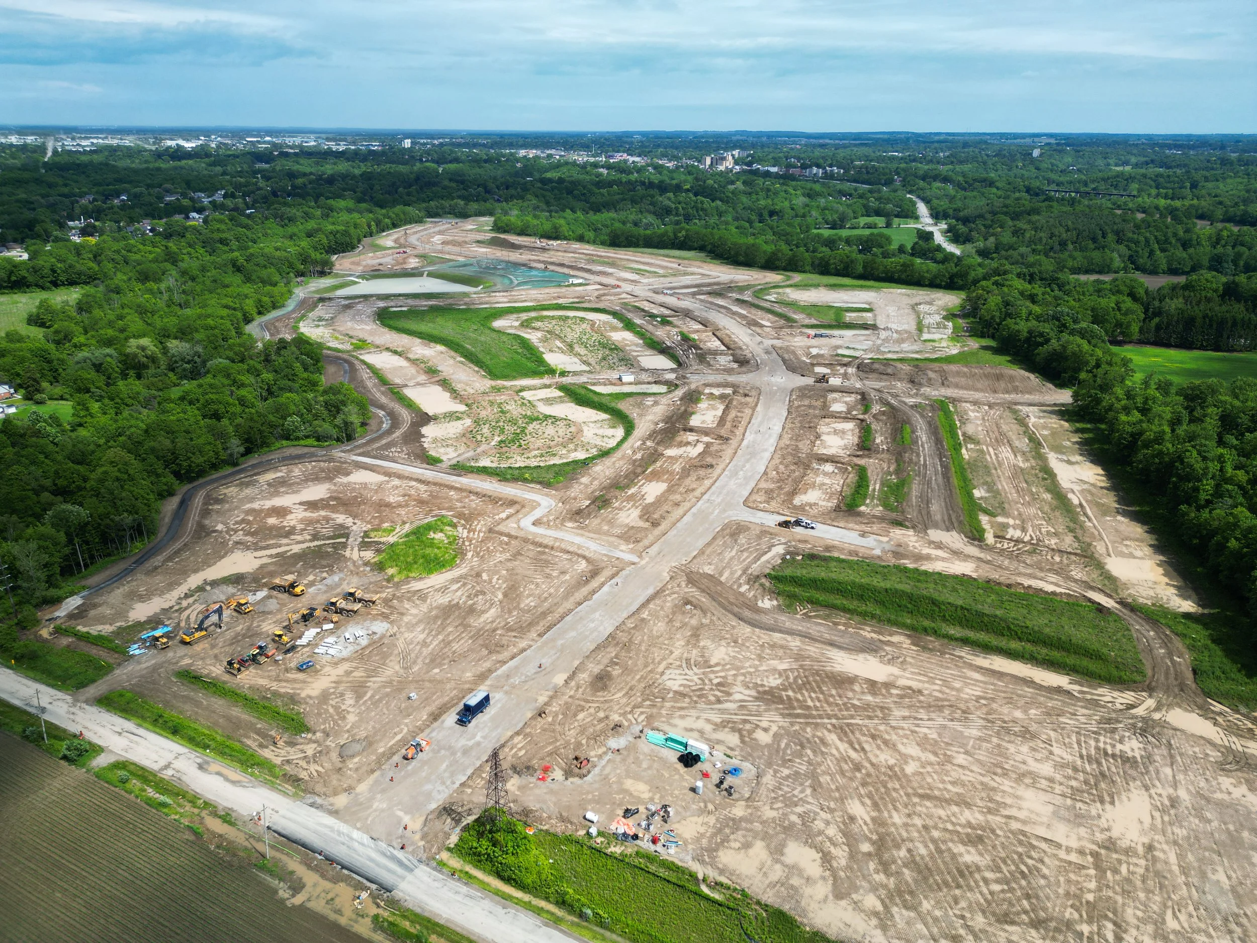
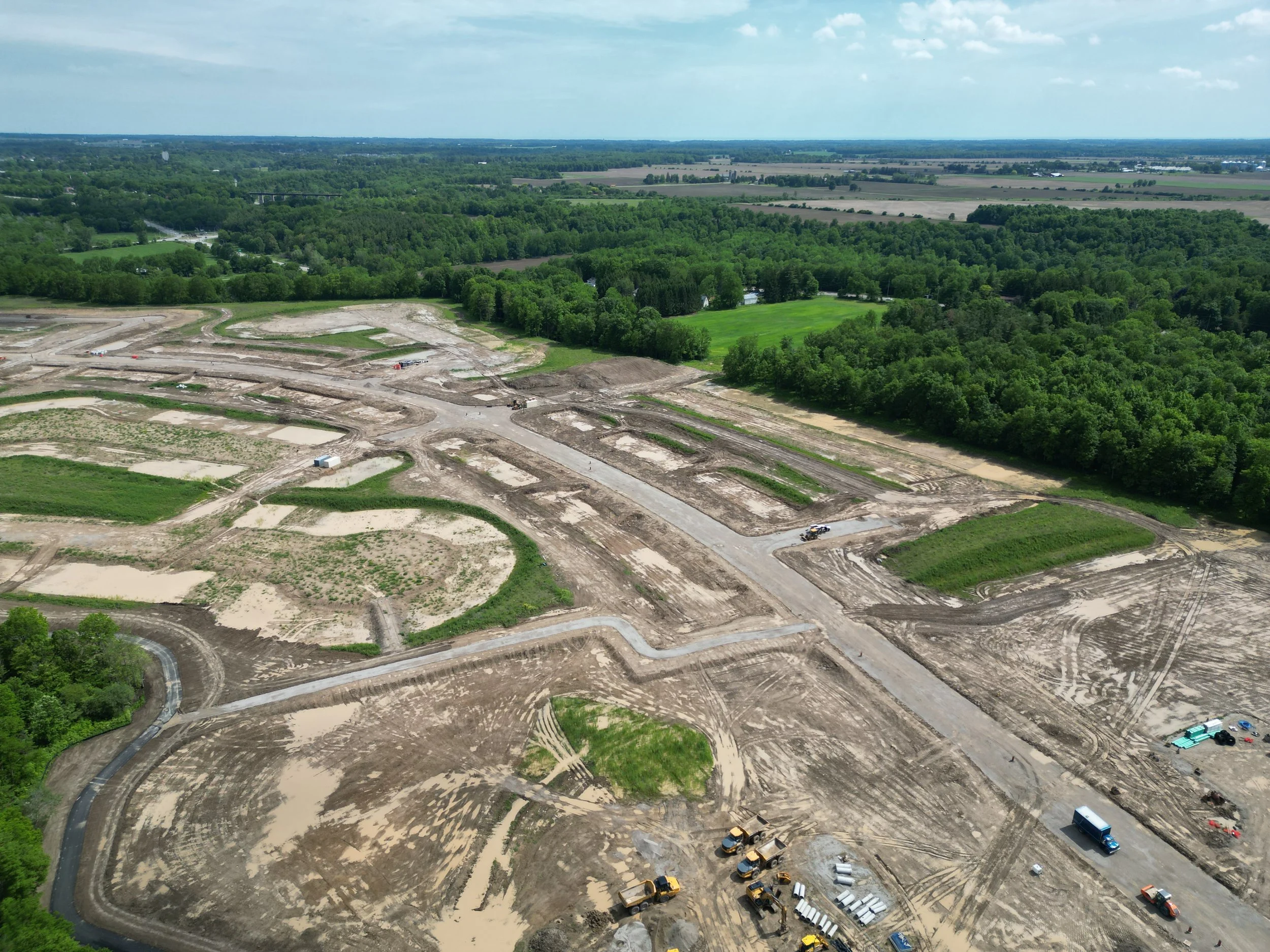
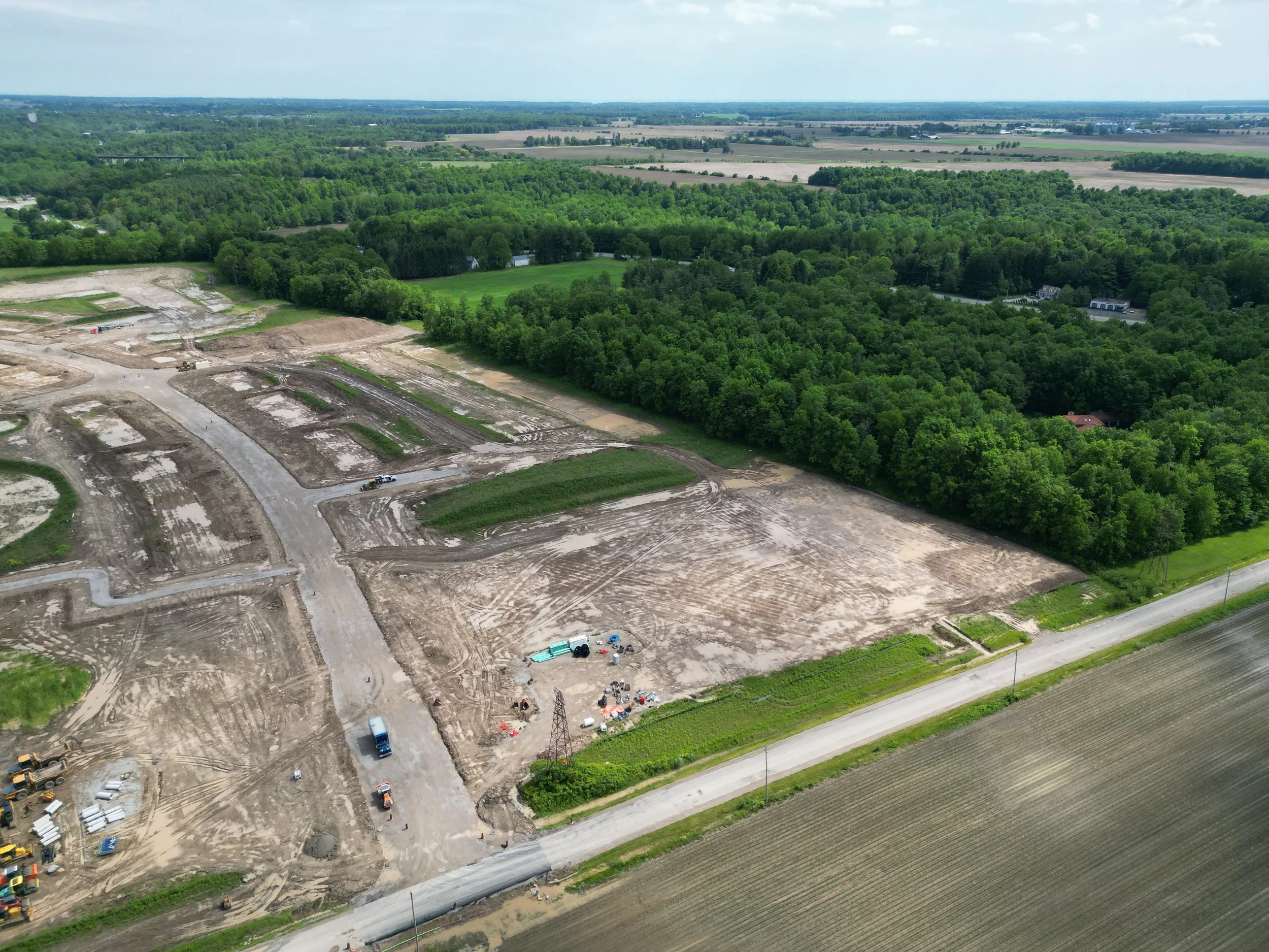
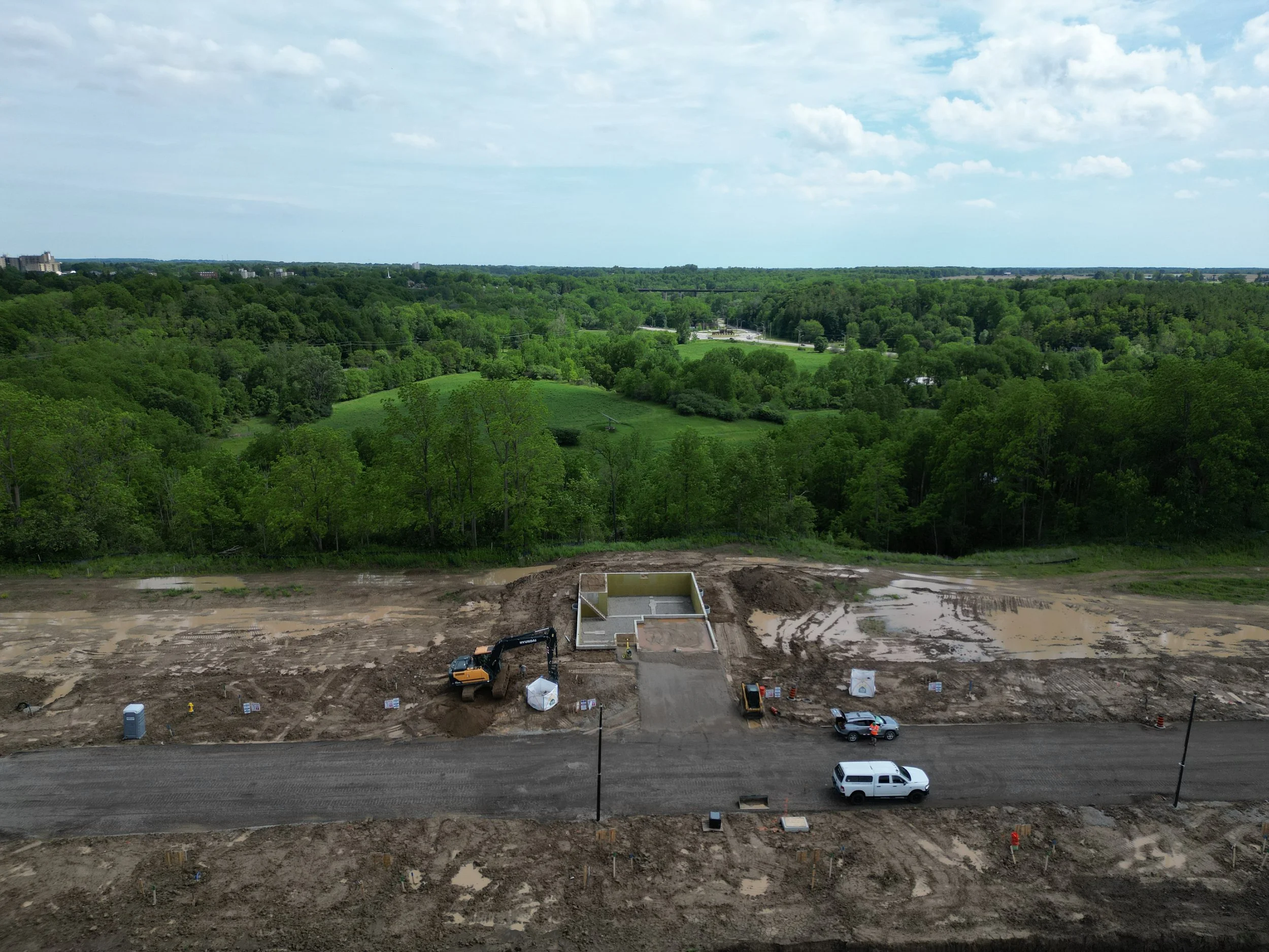
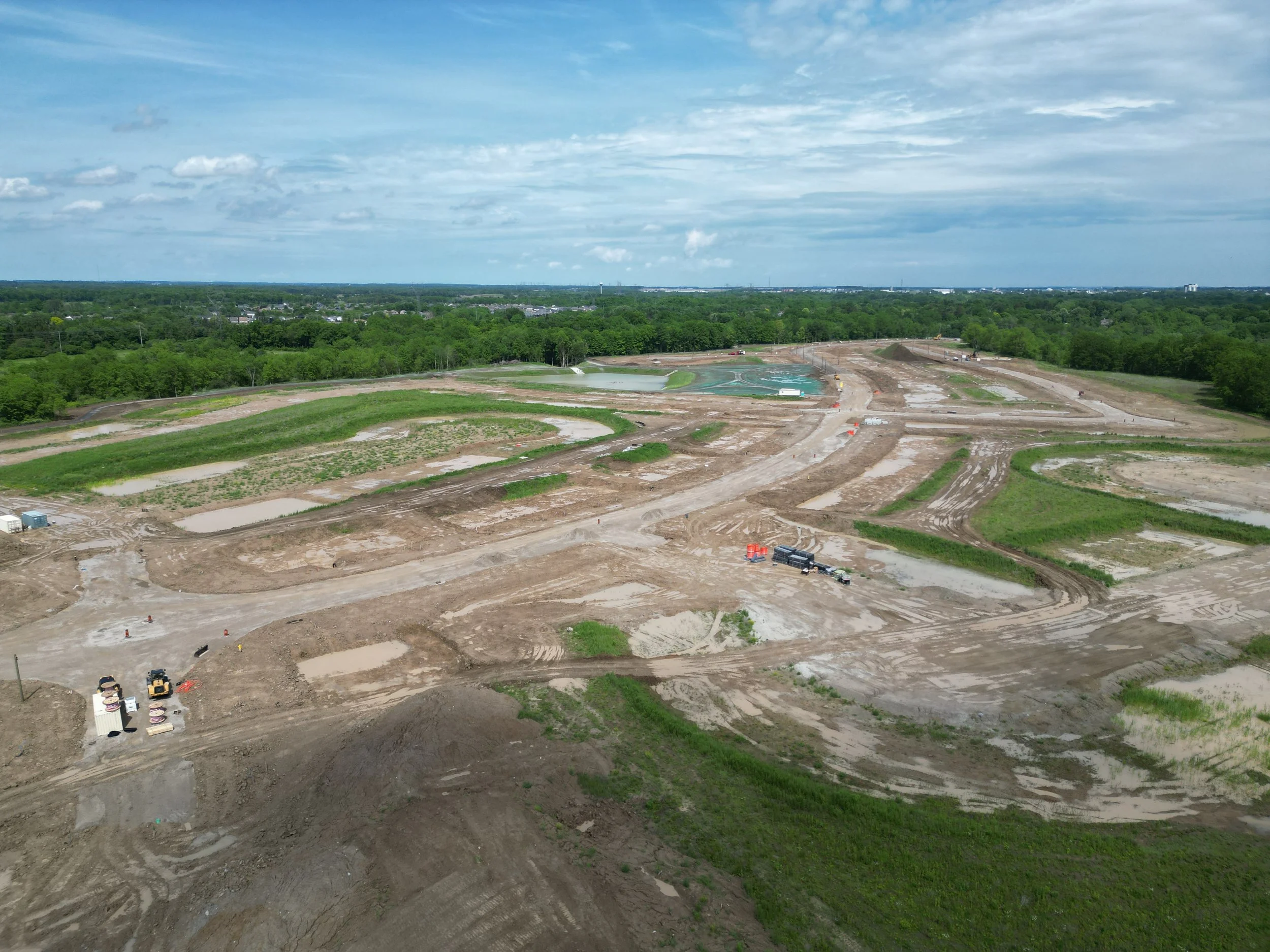
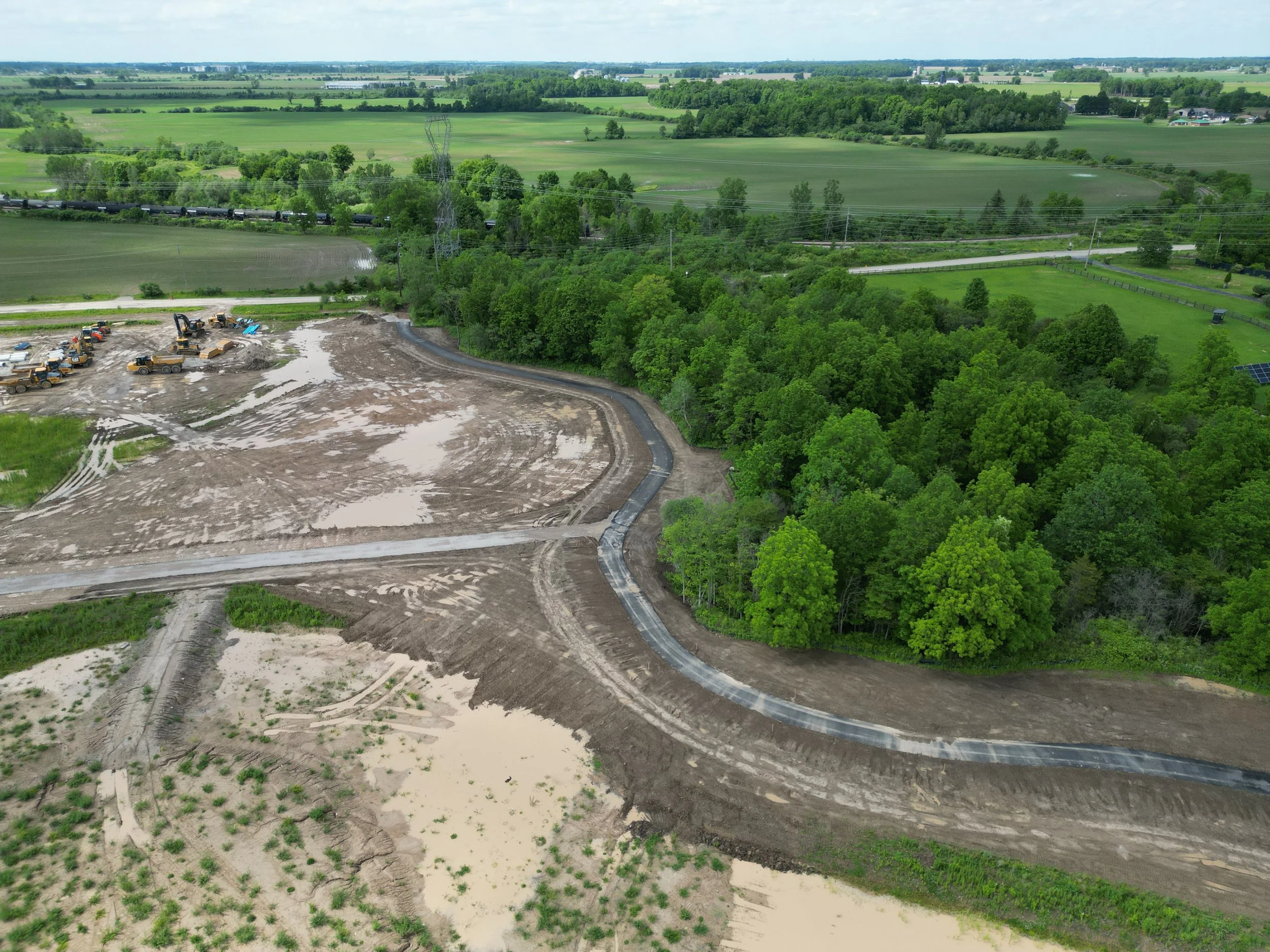
Rough grading complete
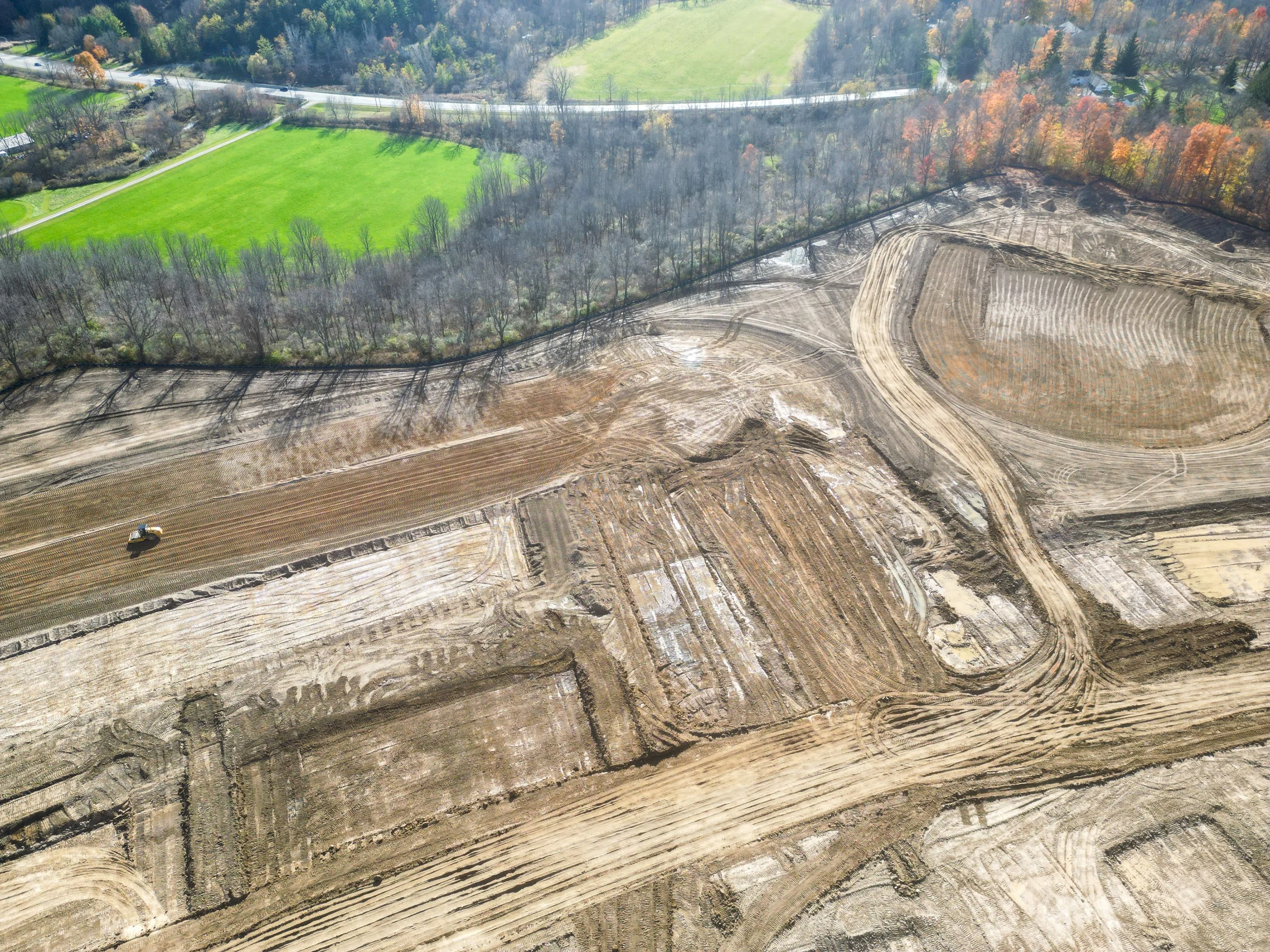
Servicing underway and expected to be completed by approximately mid to late May.
Draft 11m plan available
-
100 single detached lots
Draft Plan approved
Lots are zoned for intended use
Rough grading complete
-
71 lots -66 single detached lots and 5 townhome lots (22 dwelling units)
Draft Plan approved
Lots are zoned for intended use
Rough grading complete
-
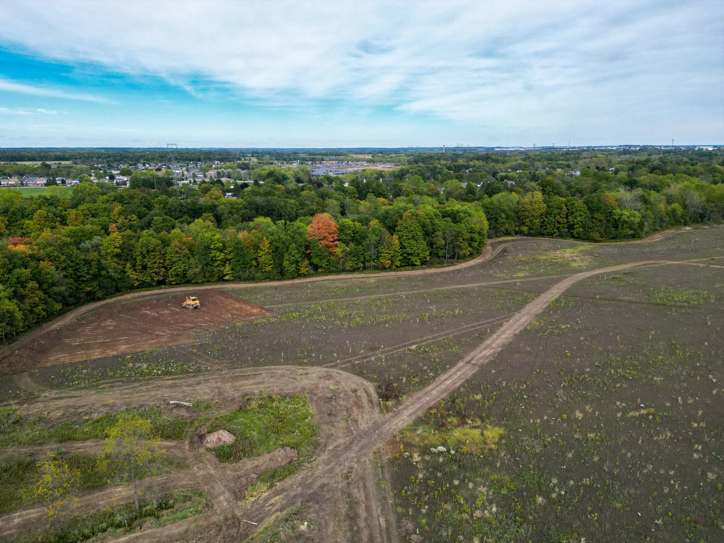
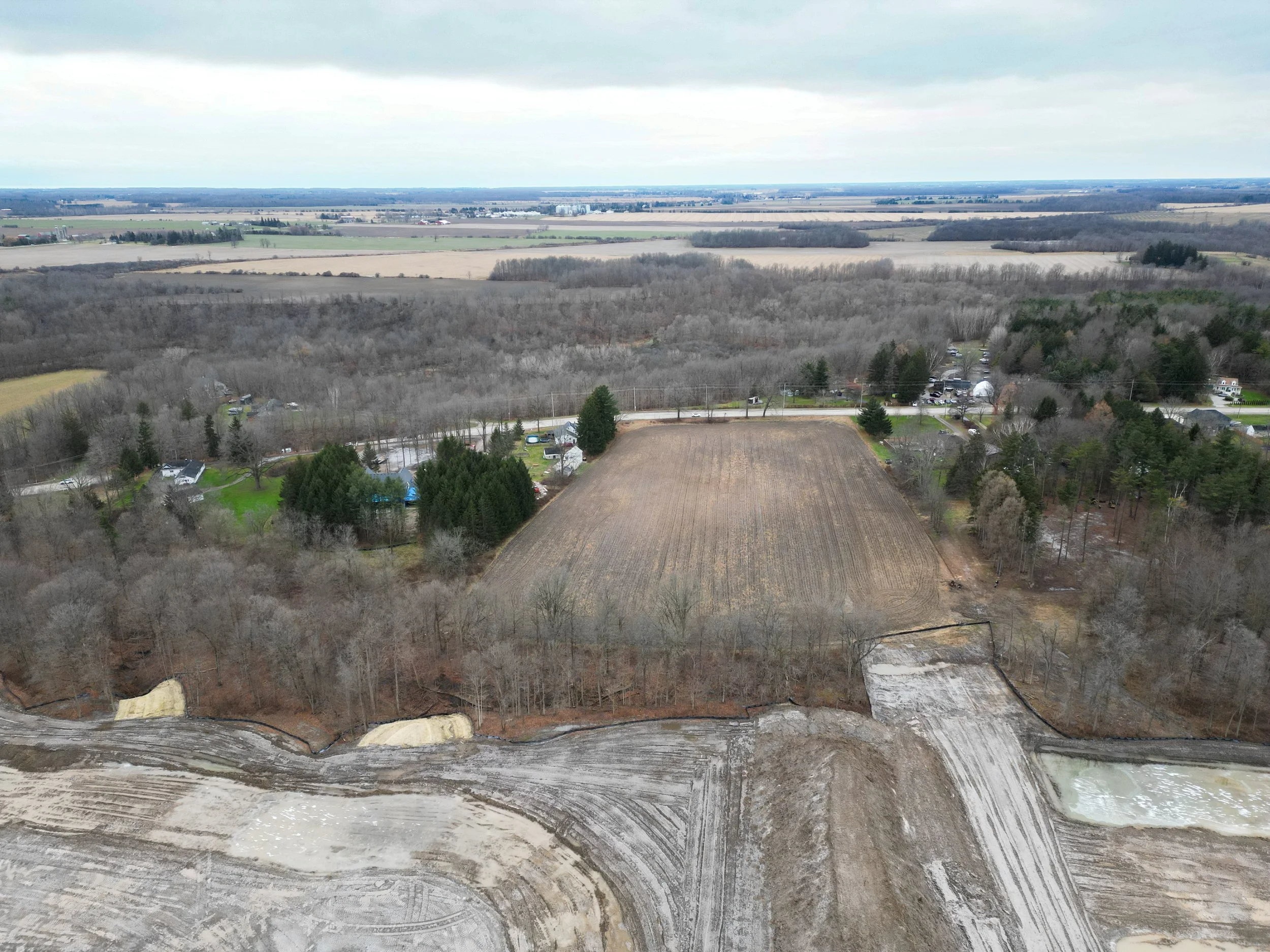
The design for the phase 4 lands is underway.
Access the Latest Development Plans.
Find all current phasing plans and marketing materials below.
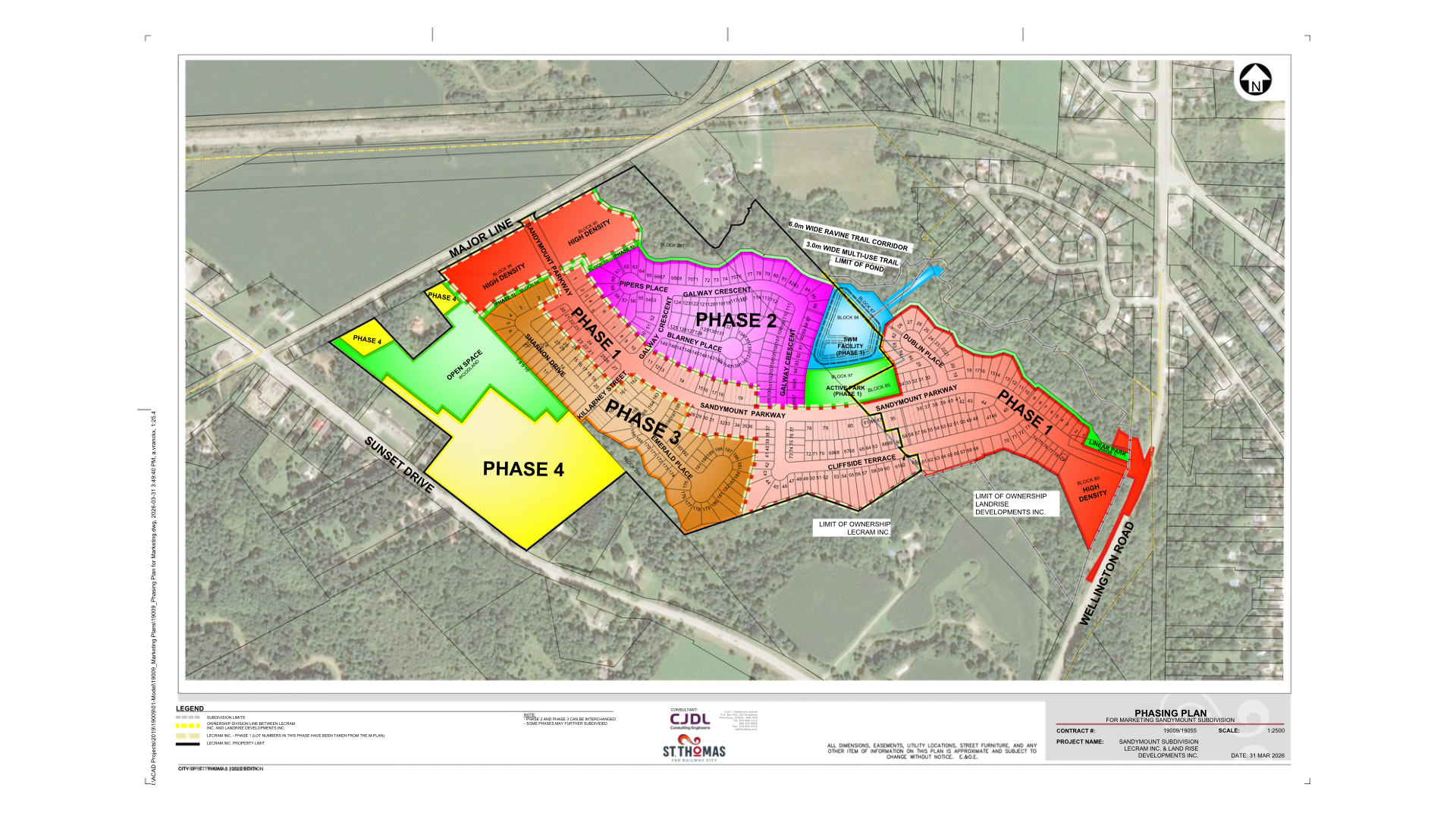
Phasing Plan — SANDYMOUNT SUBDIVISION

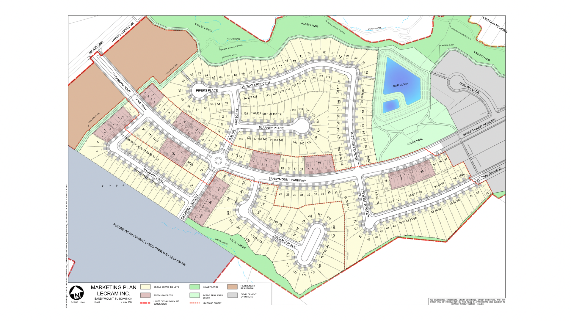
Subdivision Plan — SANDYMOUNT SUBDIVISION

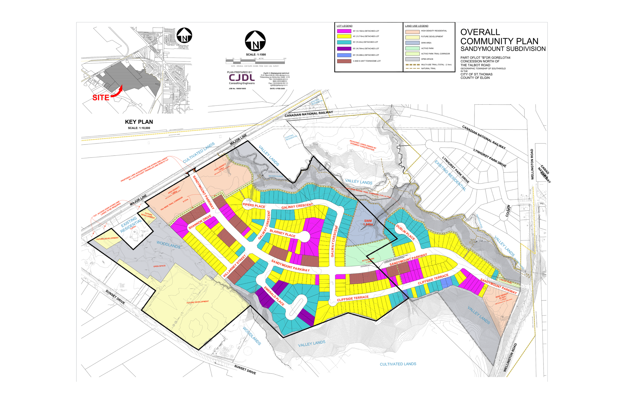
Overall Community Plan — SANDYMOUNT SUBDIVISION

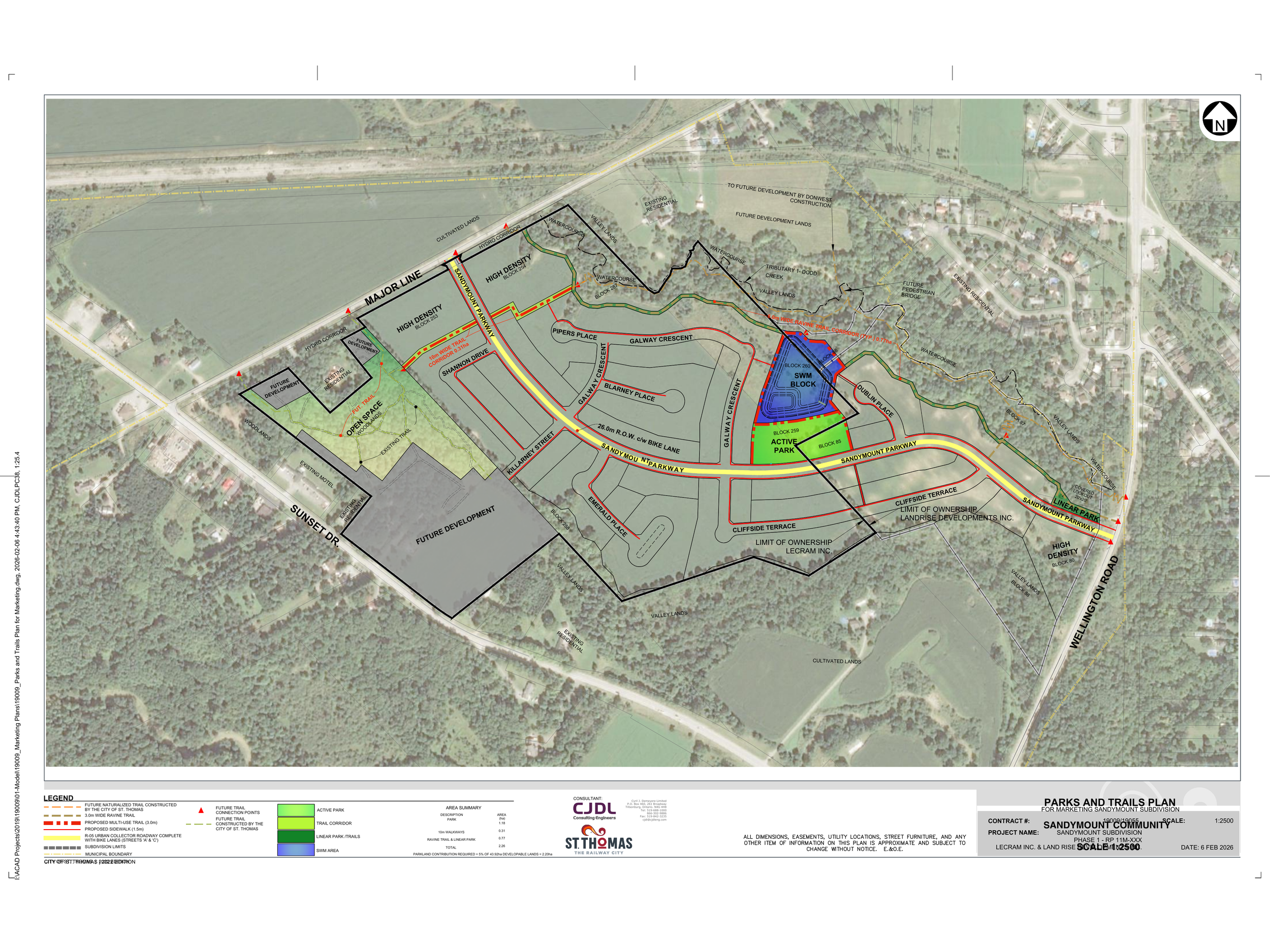
Parks and Trails Plan — SANDYMOUNT SUBDIVISION
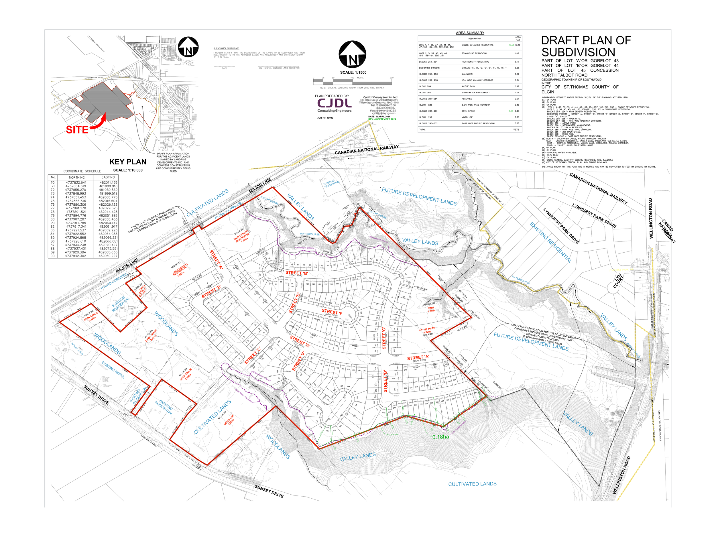
Approved Draft Plan — SANDYMOUNT SUBDIVISION
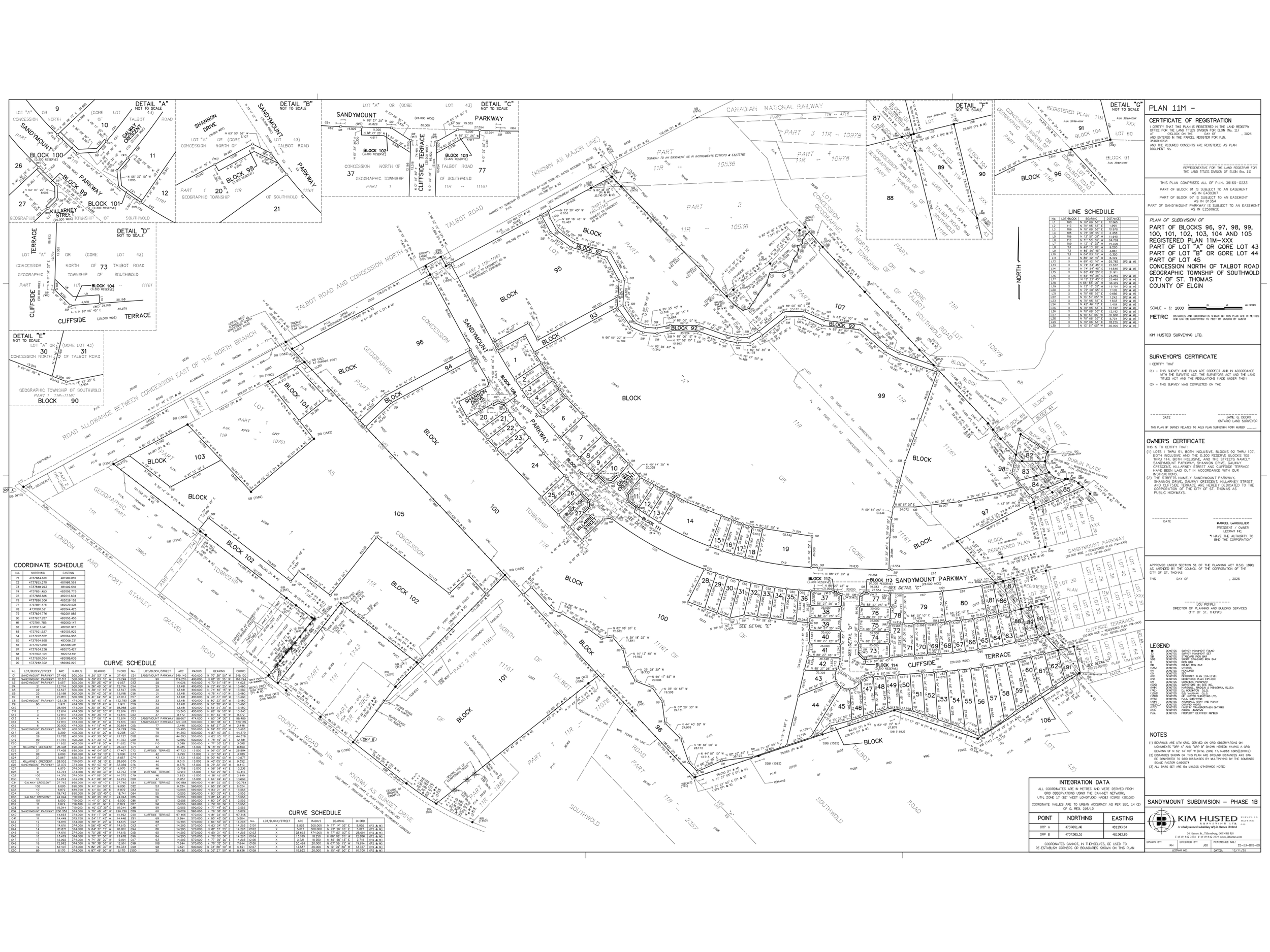
Draft 11M Plan — SANDYMOUNT SUBDIVISION
Location & Connectivity

Tip: Use the + and – buttons on the map to zoom in or out and explore Sandymount’s proximity to nearby highways, Lake Erie, Port Stanley, London, and surrounding communities.
Located at 41041 Major Line, St. Thomas, Ontario, Sandymount by Lecram Inc. offers convenient access to downtown St. Thomas, London, Highway 401, and regional employment areas. From the Sandymount community, drivers can reach Highway 401 in approximately 10 minutes, Highway 402 in about 15 minutes, and Highway 403 in approximately 40 minutes. Port Stanley and the beaches of Lake Erie are just 15 minutes away, while Toronto Pearson International Airport is approximately 2 hours and 15 minutes to 3 hours by car. The London Airport is approximately 30 minutes away, while the St. Thomas Airport is only 10 minutes. Hamilton International Airport is roughly 1 hour and 15 minutes, and Detroit Metropolitan Airport is approximately 2 hours and 15 minutes, depending on traffic and border conditions.
